Remote Sensing of the Earth System
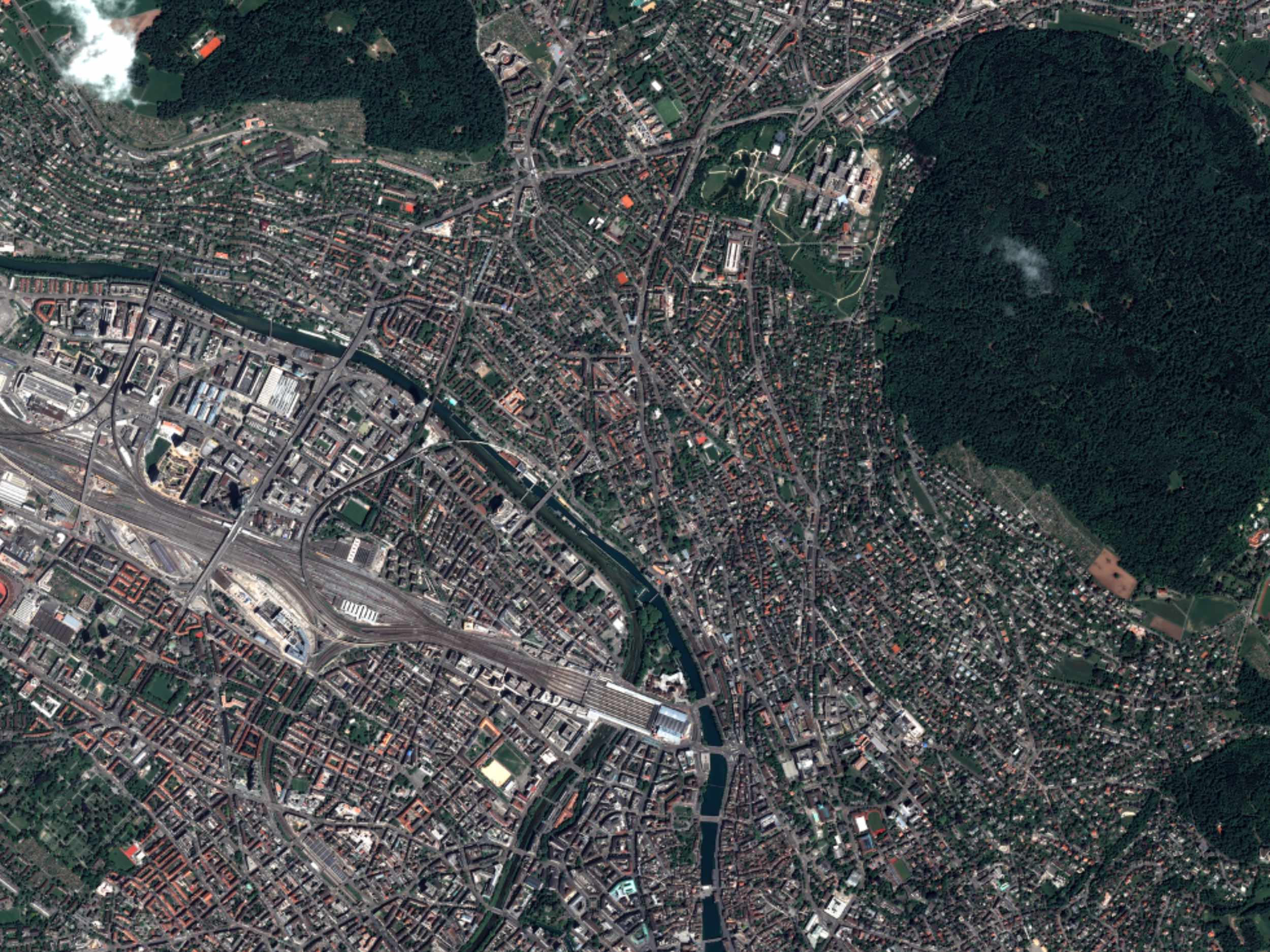
To understand the consequences of environmental pollution, climate change, or the decline in biodiversity, it is often necessary to take a broader perspective. Thanks to the latest technology, remote sensing from the air or from space reveals how humans impact the environment.
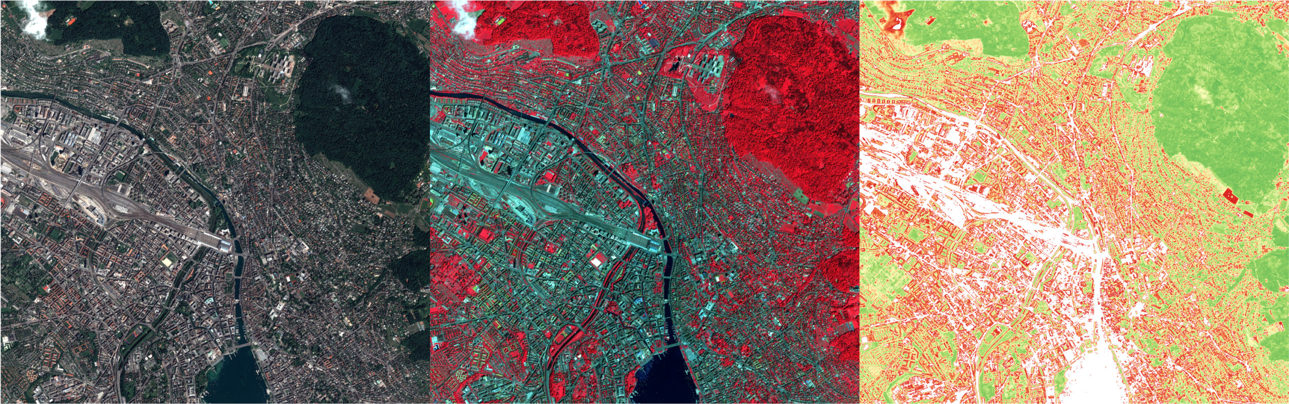
The Remote Sensing Laboratories at the University of Zurich conduct research on how remote sensing data can be used to observe and better understand our planet. Remote sensing involves observing the Earth from a distance, for example using satellites, airplanes, or drones. We use this data to study how our planet is changing. For example, it allows us to track changes in vegetation, water bodies, or the land surface over long periods of time. This provides a more accurate picture of how humans impact the environment.
At our booth, we’ll show you in a fun and interactive way how we work with remote sensing data and what insights it provides into our environment.
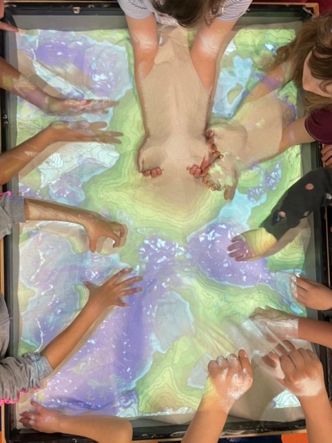
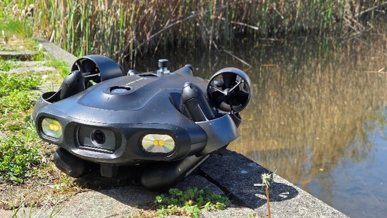
In an augmented-reality sandbox, you can model landscapes yourself and see how terrain features are related to water movements and changes in the landscape. With our underwater drone, you can dive into a simulated underwater world, while a 3D hologram of the Earth visualizes global processes such as wind systems, ocean currents, and land cover.
If you’d like to discover Switzerland from a new perspective, you can put together the cantons using a satellite image puzzle – and maybe even spot your own home from space!
Other events by the Remote Sensing Laboratories at Scientifica:
Booth: ARES: Airborne Research of the Earth System
Saturday, 22. August 2026, Dübendorf