How satellites explore the earth
The modern imaging technique Synthetic Aperture Radar (SAR) provides valuable insights into our planet’s environments. It is used – among other purposes – for environmental monitoring and prevention of infrastructural damages. Discover with us how SAR satellites work and observe them in virtual reality!
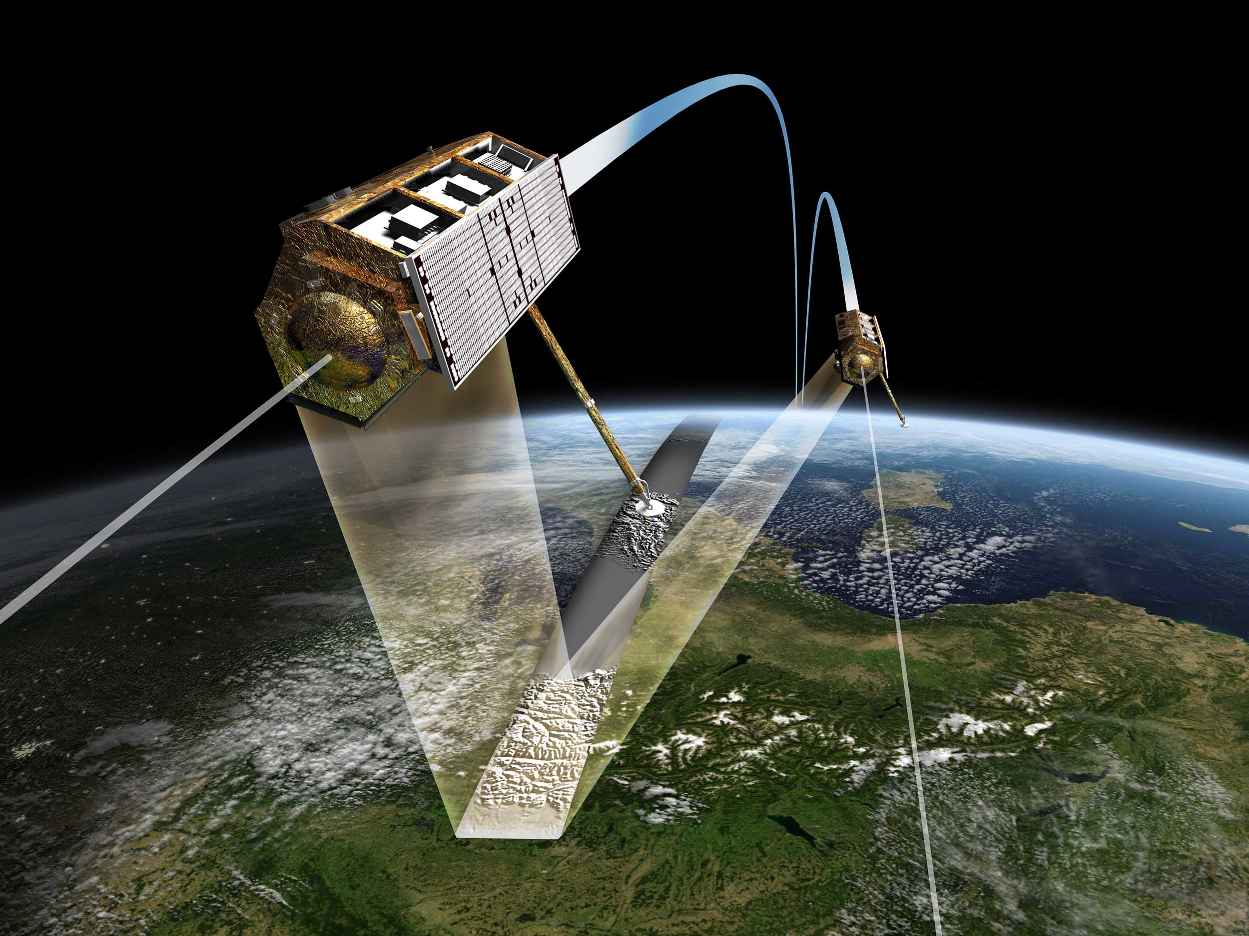
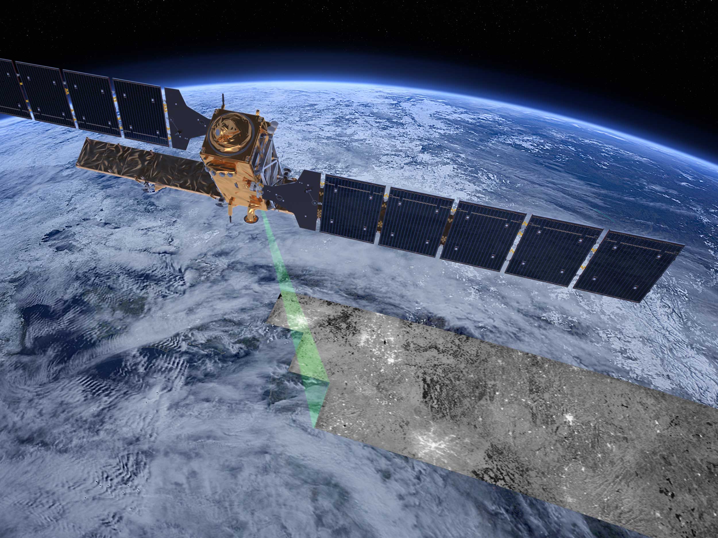
Synthetic aperture radar (SAR) uses radio waves to capture high-resolution images of the Earth’s surface. It can provide information about our planet that play an important role for many research areas. Because SAR is not based on visible light but instead on radio waves, observations can be made also through clouds and during nighttime. The method can also ‘see through’ vegetation. Because of this, a SAR system is available around the clock, which is especially important in areas such as disaster aid and environmental monitoring. SAR can be applied to provide information about extents of flooding, measure the smallest motions of the ground (e.g. for advance warning before landslides), or measure the changes of properties of snow and ice cover in remote regions.
At our stand, you can take control over your own virtual SAR satellite and observe it as it acquires data. You can also learn about functions of corner reflectors, which are an important tool for calibration of radar measurements. Or you can try out building your own radar reflector with help of our ETH-patented quick-assembly designs.