Exploring nature from a distance
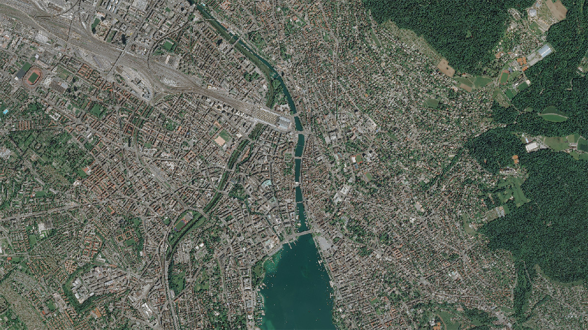
High-resolution satellite and aerial imagery make it possible to observe and analyze changes in nature from air or space. Discover how remote sensing data helps to understand nature better.
How does climate change affect vegetation? How much is biodiversity declining in a specific region? Such questions can be addressed not only with on-site observations but also with data collected from the air or even from space.
Thousands of satellites orbit Earth and continuously record data from its surface, climate, or human-made changes. Regional and local phenomena are increasingly analyzed using sensors onboard an aircraft with less spatial coverage and higher spatial resolution. Remote sensing, the observation of the Earth from a distance, allows us to explore and analyze parts of the Earth that are difficult to access and enables mapping global and large-scale processes.
Thanks to the ever-increasing variety of Earth observation data and the development of more powerful computers, we can analyze our Planet in greater detail. This allows us to gain new insights into essential processes of the Earth system, such as climate change and its consequences. Scientific applications are mainly monitoring and researching biodiversity and other processes on Earth.
At our booth, you will get to know the world of satellite images and observe changes on the Earth’s surface from an entirely different perspective. Explore the fascination of Earth observation data and its information gain using an augmented reality (AR) app, based on the example of the Lägern Forest.